Hi there,
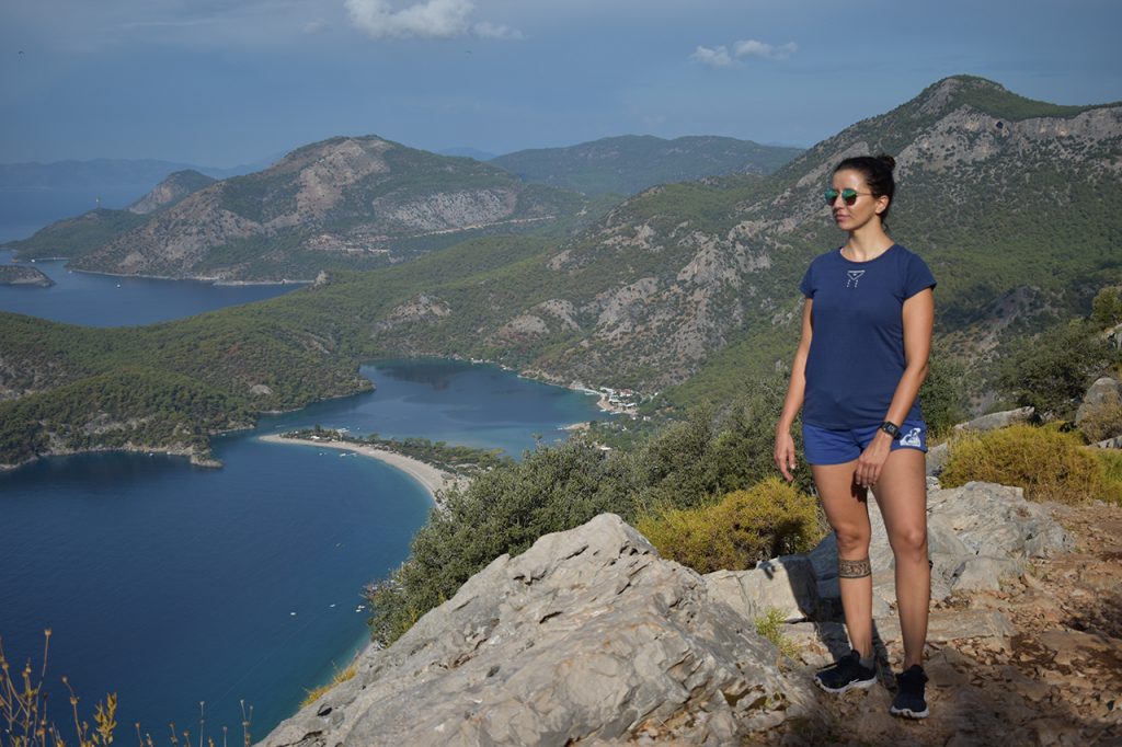
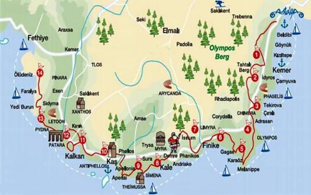
The Lycian Way or Likya Yolu (its name in Turkish) is a long-distance footpath in southwestern Turkey around part of the coast of Ancient Lycia. It is more than 500km long and runs from Hisarönü (Ovaçik) to Geyokbayiri in Konyaalti, 20km from Antalya. This trail takes its name from the ancient civilization that once occupied the area.
Lycia was a region of the mountains located in what are now the provinces of Mugla and Altalya. City-states were built along the coast of the Mediterranean Sea such as Xanthos, Patara, Myra, Pinara, Tlos, Olympos and Phaselis, which constituted the Lycian League. The tombs dug in the mountains testify to this civilization.
Thanks to their strategic location, they had the best opportunities for maritime trade and even for piracy. Later this region was occupied by the Persian Empire, Ancient Greece, Ancient Rome, the Byzantine Empire, the Seljuk Empire and finally the Ottoman Empire.
The Lycian Way was a mule trail. Kate Clow, a British woman who has lived in Turkey since 1989, conceived it as a set of hiking trails and in 1999 its signage was made.
For us, being in the Fethiye area was wonderful because we had a beach and hiking trails. We just lacked where to ride a bike.
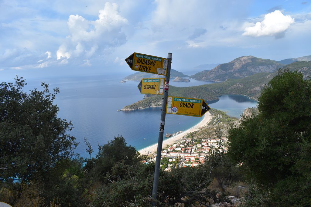
The first route we did was to Kayaköy and I already told you about this in another post. We returned another day by this same route without stopping in Kayaköy and we continued to go down through Ölüdeniz. Here we arrived behind the lagoon and the bad thing is that after having wonderful views, you end the route finding a parking lot that looked like a garbage dump.
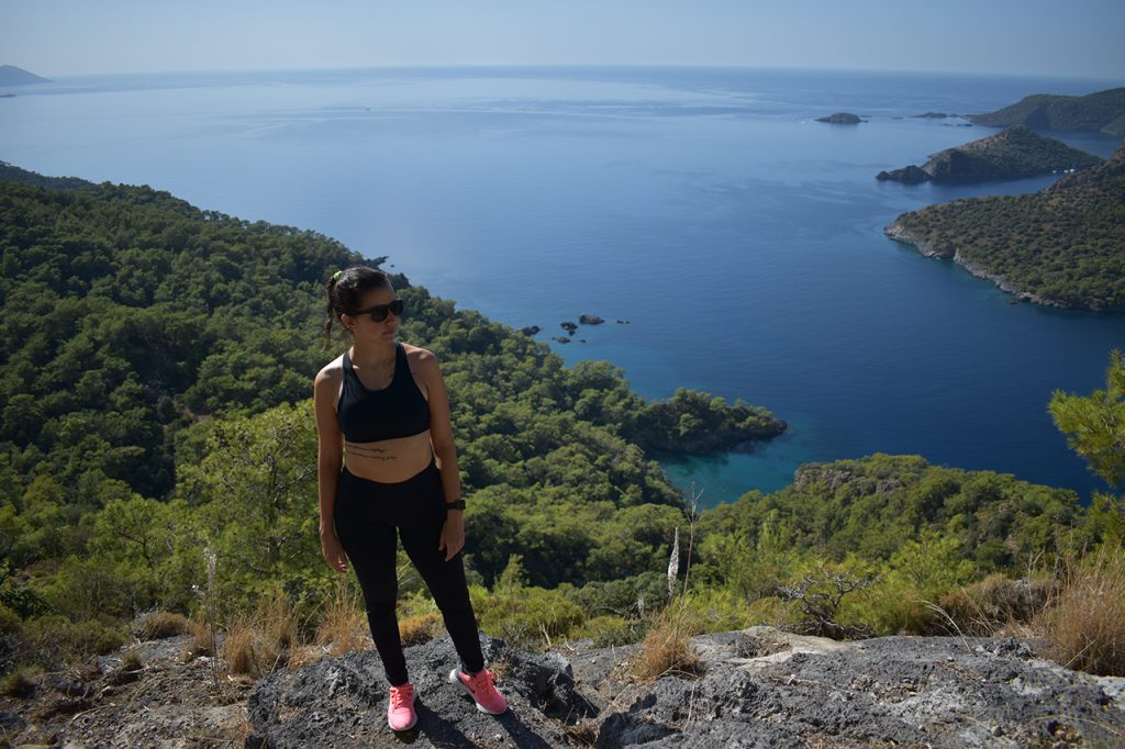
Another day we went to the opposite side and went down the other side of Ölüdeniz and that descent was memorable because at first, we made a mistake, and we were walking right next to a cliff. The funniest thing is that Diego believed that he got off that way and we would have ended up dead. We finally made our way back down the right path and although it was better, the descent was not as easy.
There are no photos from that moment because we were more careful not to slip and end up with a broken leg. Although you will see a little in the YouTube video.
The longest route we did was from Ovaçik to Faralya. This hike was great because we passed through small mountain villages of people who live from agriculture who had their own school and a tiny cemetery. The views on this route were out of a movie.
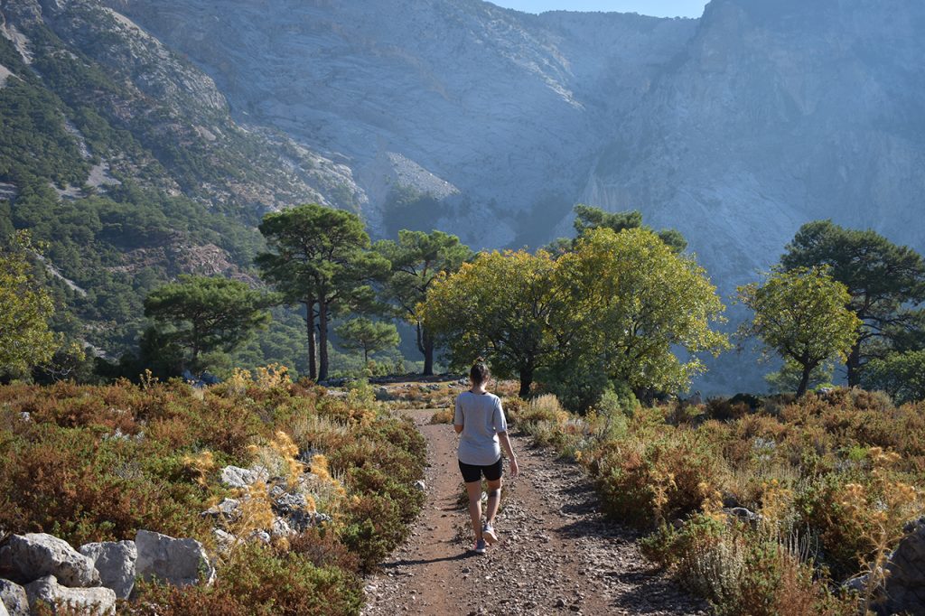
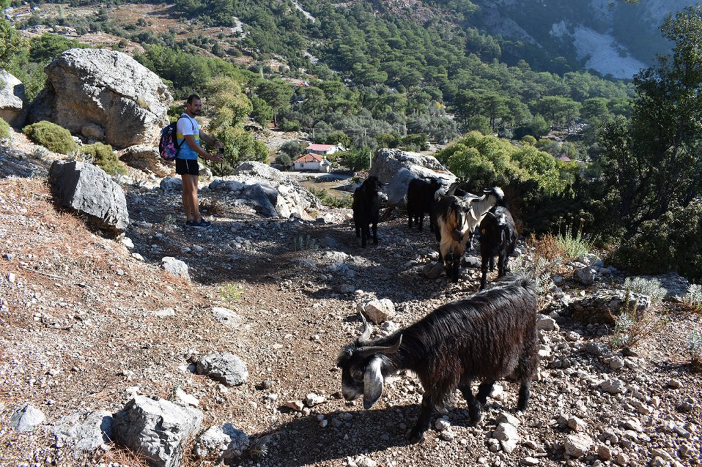
After almost 5 hours walking, we arrived at where the Dolmus leaves you to go to Faralya beach. We had read that you would reach the beach in an hour. We tried to go down because I thought that what was appearing on the internet was an exaggeration. How complicated could the route be?
The first 5 minutes were easy, but then it got complicated. I was wearing Nike shoes that were not suitable for that slippery terrain. Also, the path slopes towards the side of the cliff.
We came to a stone wall that had a rope that one was supposed to rappel down. Some Russians arrived who got off without any problems.
We thought about it and decided not to risk it. First, because that rope did not give me confidence. If you go down with a harness there was no problem; but there if we slipped, we would kill ourselves. Second, we didn’t have the right clothes or shoes. Finally, after 5 hours of walking, we were super tired.
In addition, it was already 4:00 p.m. and it would surely take us 3 hours to get to the beach and another 3 to go up, so we would lose the Dolmus to return home.
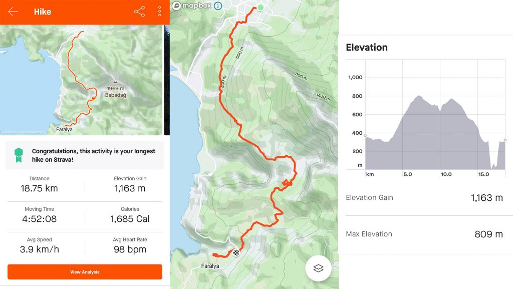
So, we decided not to push our luck and headed back. There are no photos of this descent either because we were super alert and needed both hands available.
I loved hiking in this area. Trash aside, the routes are well signposted, and the views are beautiful. We hardly met anyone on the trails, so we had nature to ourselves. The few people we found were equipped to make longer routes and to be able to camp along the way. Also, we had beautiful days with perfect temperature.
Here are the links to my YouTube channel:
More articles about my trip to Turkey:

